
Remote Sensing Australia
Very high resolution imaging
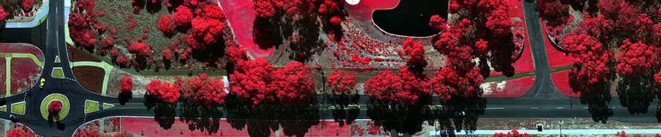
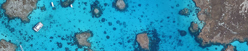
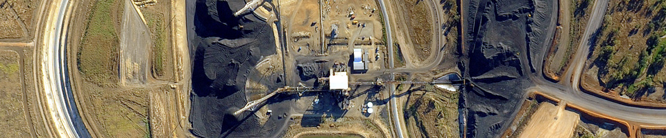
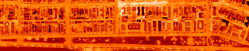
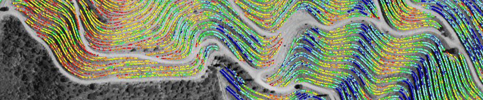
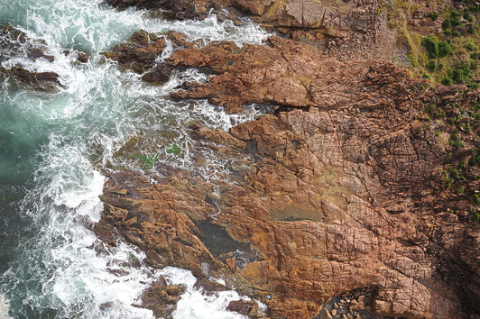
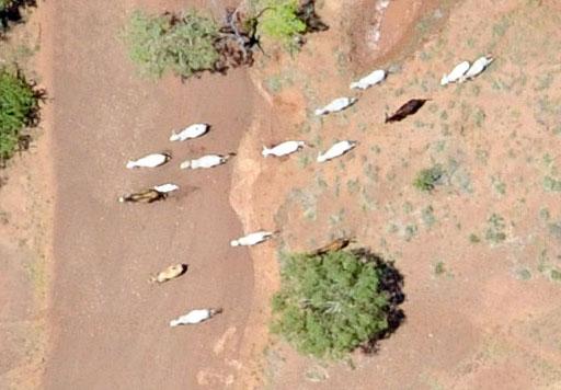
Remote Sensing Australia has undertaken many mapping projects requiring very high resolution imagery. These have varied from coastal zone surveys to flora and fauna measurements to urban mapping projects. For each scenario, new technologies were developed to ensure that image data could be acquired according to the client's specifications. This has included building new camera systems, and modifying aircraft in new ways. Acquiring very high resolution imagery requires innovative thinking. Airborne Remote Sensing Services can provide that innovation, backed up by years of experience, and create cost effective solutions.
Please contact us for more information.