
Remote Sensing Australia
Topographic mapping
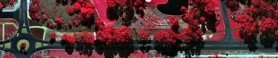
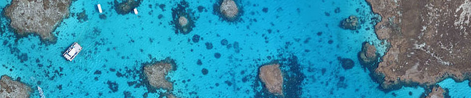
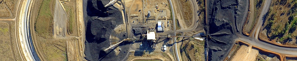
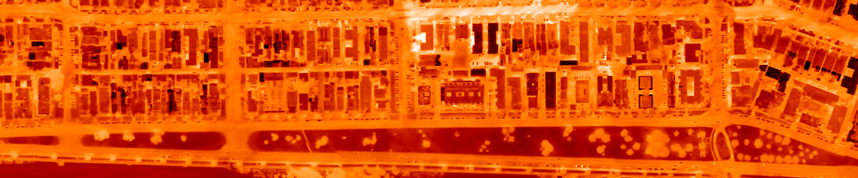
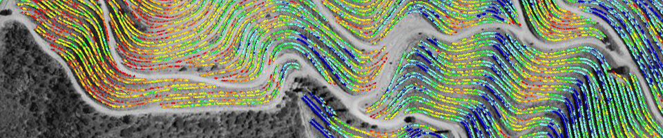
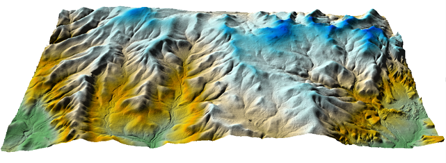
Topographic mapping is the creation of orthoimages and terrain models from aerial photography. Remote Sensing Australia has significant experience in this field, having undertaken topographic mapping projects for clients in many different industry sectors. We pride ourselves on delivering very high quality geospatial data: data that is both geometrically accurate, and radiometrically true.
Projects that we have undertaken in the past range from a few tens of hectares, to a few thousand square kilometres. No project is too large or too small.
Please contact us for more information.